Introduction
Kordofan is a historic region in central Sudan known for its strategic location, agricultural production and cultural diversity. Stretching across a vast area between western and central Sudan, Kordofan has long served as an important link connecting Darfur, Khartoum and the country’s southern regions.
Today, Kordofan consists of three states—North Kordofan, South Kordofan and West Kordofan. The region is an important centre for agriculture, livestock production and trade, while also playing a significant role in Sudan’s political, economic and security landscape.
This guide explores Kordofan’s geography, history, people, economy and its importance in modern Sudan.
Overview
Kordofan occupies a large area of central Sudan and borders Darfur to the west, Khartoum and White Nile to the east and South Sudan to the south. Its central location has historically made it an important crossroads for trade, migration and cultural exchange.
The region includes a wide variety of landscapes, ranging from semi-arid plains in the north to more fertile agricultural land and mountain ranges in the south. Agriculture, livestock and local commerce remain the foundation of the regional economy.
Kordofan continues to play a key role in Sudan’s economy and national affairs because of its agricultural resources, transport routes and natural wealth.
Geography
Kordofan lies in the heart of Sudan and covers extensive plains, seasonal rivers and grazing lands. The region includes the Nuba Mountains in South Kordofan, one of Sudan’s most distinctive geographical features.
Rainfall increases from north to south, supporting different forms of agriculture and livestock production. The region’s varied environment has shaped settlement patterns, farming practices and economic activities for centuries.
Kordofan’s location between western and eastern Sudan also makes it an important transportation corridor linking different parts of the country.
Administrative Divisions
Kordofan is divided into three states:
• North Kordofan
• South Kordofan
• West Kordofan
Major cities include El Obeid, Kadugli, Al Fula and En Nahud. El Obeid, the capital of North Kordofan, is widely regarded as the historic commercial centre of the region.
History
Kordofan has been an important region throughout Sudan’s history because of its location between the Nile Valley, Darfur and the Sahel. For centuries, trade caravans crossed the region, transporting livestock, agricultural products, gum arabic and other goods between central and western Africa.
During the nineteenth century, Kordofan became an important administrative and commercial centre under Turco-Egyptian rule. Later, the region played a significant role during the Mahdist State, with El Obeid serving as one of the movement’s principal strongholds.
Following the establishment of Anglo-Egyptian Sudan in 1899, Kordofan remained a major agricultural region. After Sudan gained independence in 1956, the region continued to contribute significantly to the country’s economy while also becoming an important centre of political and social development.
People and Ethnic Diversity
Kordofan is home to a diverse population representing numerous ethnic groups, languages and cultural traditions. Communities across the region have historically practiced farming, pastoralism and trade, creating a rich cultural landscape shaped by centuries of interaction.
Among the region’s best-known communities are the Nuba peoples, Arab pastoral groups and several other indigenous populations with distinct cultural identities. Arabic is widely spoken throughout Kordofan alongside numerous local languages, particularly in the Nuba Mountains.
The region’s cultural diversity has contributed to its historical importance as a meeting point between different parts of Sudan and neighbouring regions.
Economy
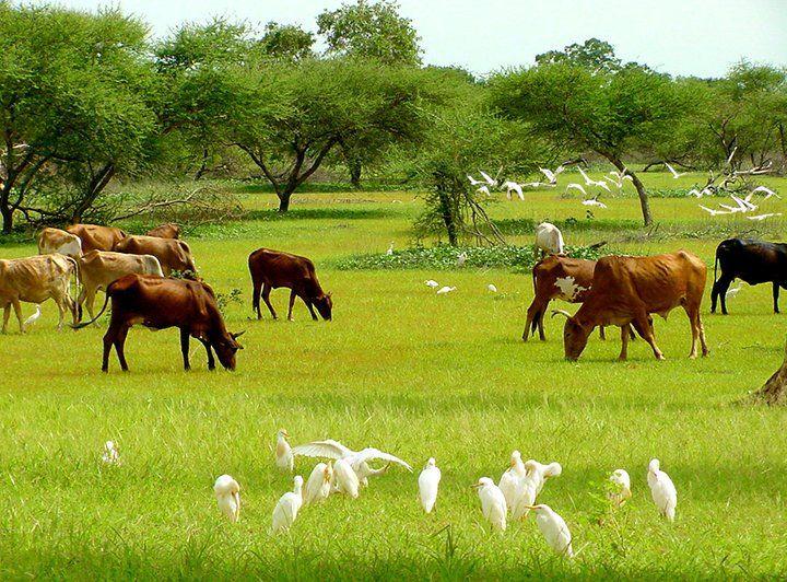
Agriculture and livestock form the foundation of Kordofan’s economy. Farmers cultivate crops including sorghum, millet, sesame and groundnuts, while livestock production—particularly cattle, sheep, goats and camels—provides livelihoods for many rural communities.
Kordofan is internationally recognised as one of Sudan’s most important gum arabic producing regions. The area also supports local industries, markets and trade routes linking western Sudan with the Nile Valley.
Despite its economic potential, conflict, climate variability and infrastructure challenges have affected agricultural production, trade and investment in parts of the region.
The Nuba Mountains
The Nuba Mountains are located primarily in South Kordofan and represent one of Sudan’s most distinctive geographical and cultural regions. The area is characterised by isolated mountain ranges, fertile valleys and exceptional cultural diversity.
The Nuba Mountains are home to numerous indigenous communities with unique languages, traditions and historical identities. Agriculture remains the primary economic activity, supported by seasonal rainfall and fertile land.
The region has also experienced periods of armed conflict, making it an important focus of humanitarian assistance, peace initiatives and political negotiations in modern Sudan.
Modern Conflict
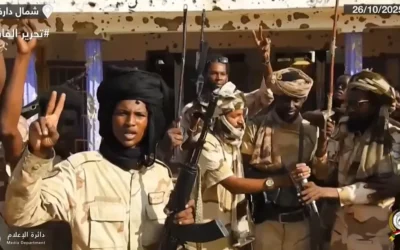
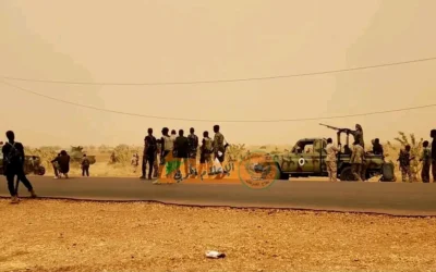
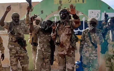
Kordofan has experienced recurring insecurity during different periods of Sudan’s modern history, particularly in South Kordofan. Armed confrontations involving government forces and armed movements have affected civilian populations, public services and economic activity in some areas.
Since the outbreak of the Sudan war in April 2023, parts of North, South and West Kordofan have witnessed renewed military activity. The intensity and impact of the conflict have varied across the region, contributing to displacement, humanitarian needs and disruptions to agriculture and trade.
Despite these challenges, many communities across Kordofan continue to rely on farming, livestock production and local commerce while humanitarian organizations support affected populations where access is possible.
Kordofan Today
Today, Kordofan remains one of Sudan’s most important agricultural and livestock-producing regions. Its central location, natural resources and transport links make it strategically significant for both the national economy and regional trade.
The region continues to face challenges related to infrastructure, climate change, economic development and security. At the same time, Kordofan possesses considerable long-term potential because of its agricultural capacity, gum arabic production and diverse human and natural resources.
Understanding Kordofan is essential to understanding Sudan’s geography, economy and contemporary political developments.
Frequently Asked Questions
Where is Kordofan?
Kordofan is located in central Sudan between Darfur and the Nile Valley. The region also borders South Sudan to the south.
How many states are in Kordofan?
Kordofan consists of three states: North Kordofan, South Kordofan and West Kordofan.
What is Kordofan known for?
Kordofan is known for its agricultural production, livestock, gum arabic, the Nuba Mountains and its strategic position linking central and western Sudan.
What is the largest city in Kordofan?
El Obeid, the capital of North Kordofan, is the region’s largest city and its principal commercial centre.
Why is Kordofan important?
Kordofan is important because of its agricultural resources, livestock production, transport routes, gum arabic exports and its central role in Sudan’s economy and geography.
Related Guides
• Darfur
Sources
This guide is based on publicly available information from:
• Encyclopaedia Britannica
• Library of Congress – Country Studies
• United Nations Office for the Coordination of Humanitarian Affairs (OCHA)
• United Nations High Commissioner for Refugees (UNHCR)
• Food and Agriculture Organization (FAO)
• African Development Bank (AfDB)
• Government of Sudan publications
• Academic research on the history and geography of Kordofan
• Reports published by humanitarian organizations and international research institutions.
Last Updated: 25 July 2026